Landuse Map of Yatinuwara DS Division
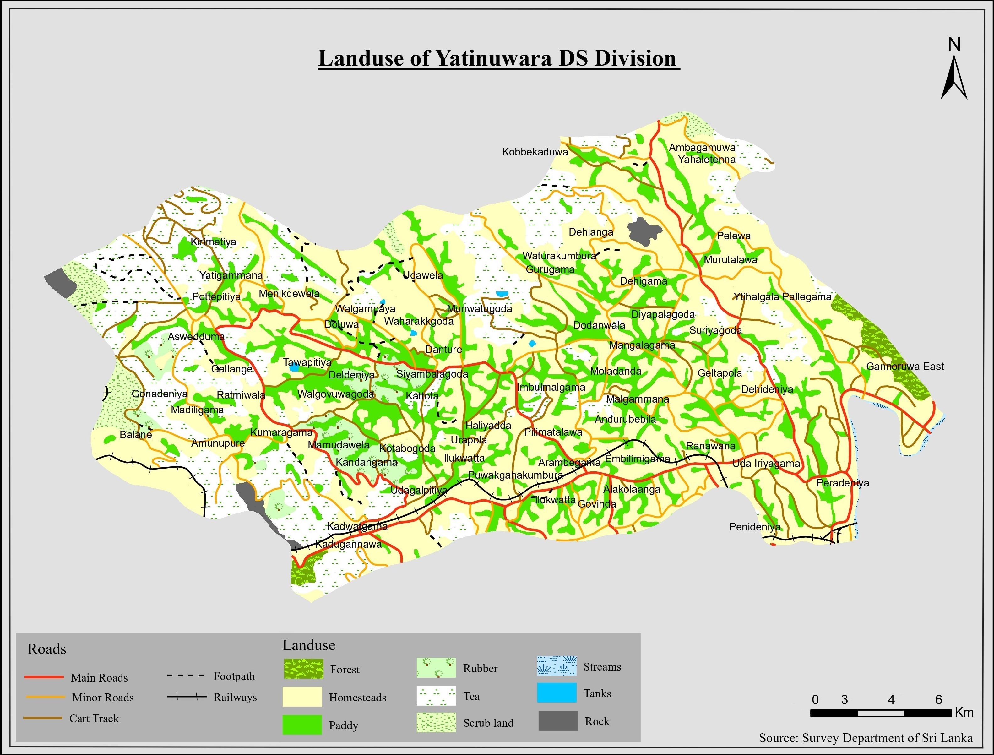
The map displays dominant land use categories such as paddy, forest, tea, rubber, homesteads, scrub land, rock outcrops, streams, and tanks, along with transportation networks and settlement names.
Thematic Land Use Mapping using GIS
This project presents a detailed thematic land use map of the Yatinuwara Divisional Secretariat Division in the Kandy District. The map illustrates the spatial distribution of major land use categories to support land management, environmental assessment, and regional planning.
The study area covers the Yatinuwara Divisional Secretariat Division located in the Kandy District, Central Province of Sri Lanka. The area consists of mixed land use patterns including agriculture, settlements, forest patches, and transportation networks.
The map displays dominant land use categories such as paddy, forest, tea, rubber, homesteads, scrub land, rock outcrops, streams, and tanks, along with transportation networks and settlement names.
This project enhanced practical skills in land use mapping, cartographic visualisation, and interpretation of spatial patterns. The output map follows national mapping standards and supports planning and environmental decision-making processes.